Tilly Foster Mine
U.S. Route 6 at Tilly Foster.
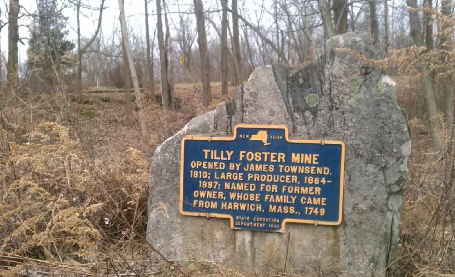
TILLY FOSTER MINE
Opened by James Townsend,
1810; large producer, 1864–
1897; named for former
owner, whose family came
from Harwich, Mass., 1749.
About this Marker
The Tilly Foster Iron Mine, located approximately two miles west of Brewster village along Route 6, was for a time one of the most productive iron-ore operations in the Hudson Valley. The mine did not open until 1853 — a decade after Foster’s death — but at its peak in the 1870s it employed hundreds of miners producing 7,000 tons of ore per month, and from 1887 to 1889 it operated as an open pit that was, at that time, the largest open-pit mine in the world.
The marker reflects a longstanding local belief, but the actual chain of title tells a more specific story. Tilly Foster was not a local Southeast man at all. He was a resident of the Town of Washington, Litchfield County, Connecticut — a Connecticut investor who in 1830 paid $3,598 for 128 acres of farmland in Southeast, and who appears never to have lived on the property himself. Foster died circa 1842. The mine that bears his name did not begin commercial operations until 1853, a decade after his death. Foster’s namesake mine and the farm that is today the Tilly Foster Farm passed through entirely separate chains of title after his death; what connects them is simply the man’s name — attached permanently to this corner of Southeast through the iron mine.
A catastrophic collapse in 1895 killed 13 miners and effectively ended large-scale operations; the pit subsequently flooded. Today it is the water-filled depression visible on aerial photographs just north of the Middle Branch Reservoir along U.S. Route 6 — its surface still visited by the occasional scuba diver.
Town of Southeast, NY
Sources
- On-site photograph of the New York State Education Department marker (1935).
- Gay Nineties Inn / Yale House research project on this site — documents the 1830 Foster acquisition deed (Bk. A[F], p. 232–234, physically reviewed at the Putnam County Clerk’s Office), the 1853 mine opening, the 1887–1889 open-pit era, and the 1895 collapse.
- Wikipedia — Tilly Foster Mine.
- Putnam County Legislature presentation — “Tilly Foster Farm Overview,” August 25, 2022.